High-Resolution Detail and Customization
Experience unmatched detail with ultra-dense contour lines and customizable overlay options for precise and accurate fishing charts.
Enhanced Visualization
Utilize terrain shading and CMOR chart compatibility to gain a 3D-like perspective and improved interpretation of underwater contours.
Comprehensive and Cost-Effective Coverage
Benefit from extensive regional coverage with TZ MAPS, including free updates for one year, all in a single, affordable purchase.


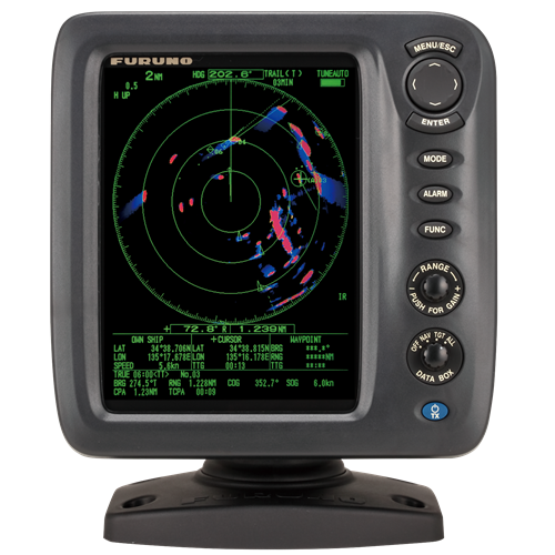
1815
120 €
VAT Included (20%)
1815
120 €
VAT Included (20%)
1815
120 €
VAT Included (20%)
1815
120 €
VAT Included (20%)
1815
120 €
VAT Included (20%)
1815
120 €
VAT Included (20%)