Community Maps
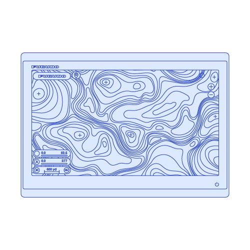
It allows users to modify charts and suggest updates, with the goal of enhancing the chart data available to the community.
What is Community Maps?
Community Maps technology enables boaters to create and edit chart targets, sharing navigation information like hazards and fishing points with other users.
The Community Maps technology allows you to edit the various chart objects in order to benefit from the most reliable and up to date information.
You can log details like hazard obstacles, destinations, fishing spots, and other navigational points. An important and unique aspect of this function is that it includes comments, and ratings.
The chart targets you create are shared online with fellow TZ MAPS chart users.
FURUNO TECHNOLOGY
A happy user
"Community Maps has revolutionized the way I navigate. The accuracy of the charts is unparalleled, providing me with the confidence to explore new waters safely. It's like having a reliable co-pilot that ensures every journey is smooth and secure."
Chartplotter - Seamless Navigation Solutions for Every Maritime Sector
Furuno chartplotters are renowned for their user-friendly interface, ensuring seamless navigation for all maritime sectors. Their high-performance capabilities deliver precise and real-time data, enhancing safety and efficiency on the water. Built with reliability in mind, these chartplotters withstand harsh marine environments, making them an indispensable tool for commercial, recreational, and professional mariners alike, ensuring smooth sailing every time.

D=2.2(√H1 + √H2)
D: Radar line-of-sight (NM)
H1: Altitude at which the Radar is installed (m)
H2:Altitude of the object reverberating the signal (m)
Products employing this radar technology
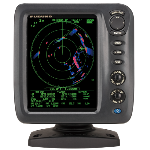
These radars were developed to guarantee situational awareness as they reliably and intuitively track dangerous targets.
Products employing this chartplotter technology
These chartplotters allows boaters to create and edit chart targets.
RADAR
Our radars deliver accurate images and reliability in all environments, combining superior performance with durability against harsh conditions.
SONAR
Our sonar technologies offer unparalleled accuracy and sustainability, ensuring optimal performance and eco-friendly practices for all fishing vessels.
FISH FINDER
Furuno's fish finder technologies have revolutionized fishing, offering unparalleled accuracy and reliability since their inception.
AUTOPILOT
Furuno's autopilot technologies enhance navigation safety and precision through advanced algorithms, real-time adjustments, and user-friendly interfaces.
CHARTPLOTTER
Our chartplotter technologies enhance maritime safety and simplify navigation by providing real-time data, precise positioning, and the best marine charts.
USER INTERFACE
User interface technologies simplify marine instrument operation, enhancing navigation efficiency and safety with intuitive, user-friendly controls.
ACCESORIES
Contact one of our departments to solve your problem


1815
€120
VAT Included (20%)

1815
€120
VAT Included (20%)

1815
€120
VAT Included (20%)

1815
€120
VAT Included (20%)

1815
€120
VAT Included (20%)

1815
€120
VAT Included (20%)